(Wikimedia Commons public domain photograph)
Here are some notes from “Identification of a Regional Earthquake Fault Zone,” Chapter 10 of Jerry D. Grover, Jr., Geology of the Book of Mormon (2014), pages 139-148. (See this and further works by him and others at Brother Grover’s Book of Mormon Scientific and Linguistic Research site.). Brother Grover — who, incidentally, served from 1995 to 2007 as a member of the Utah County Commission — is a licensed Professional Structural and Civil Engineer and a licensed Professional Geologist, with an undergraduate degree in Geological Engineering from Brigham Young University and a master’s degree in Civil Engineering from the University of Utah. He has devoted more than thirty years to the study of the geography of the Book of Mormon and related issues.
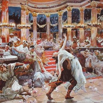
Brother Grover contends that “volcanic earthquakes alone cannot account for the earthquake intensity described in 3rd Nephi” (139). So he undertakes an examination of the potential fault zones where an earthquake of sufficiently large magnitude might have taken place, in order to determine which of them is the most likely location.
Based on careful examination of the relevant scriptural passages, he concludes “that there was (1) widespread surface rupture and fracturing in the land northward, and (2) “the plains of the earth” were broken up” (140). He also looks at a second earthquake surface feature known as subsidence.
There are only two regional fault zones in the Isthmus of Tehuantepec, where, drawing upon the geographical model proposed for the Book of Mormon by John L Sorenson, Brother Grover’s research is focused. One is the Pacific Coast Subduction Zone and the other is the Veracruz-Polochic/Motagua Strike-Slip Fault Province. He is decisively clear in announcing his preference:
“[T]he best-fit scenario appears to be strike-slip movement in the Veracruz-Polochic/Motagua Strike-Slip Fault Province, with the principal movement occurring in the Veracruz fault system” (141).
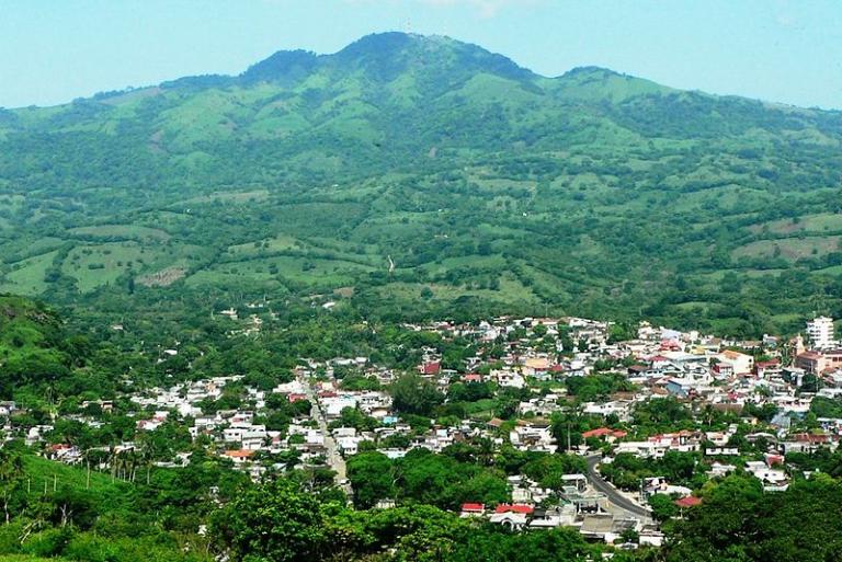
(Wikimedia Commons public domain photo)
He acknowledges that the available data are not ideal:
“Faults like the San Andreas in California have had extensive data collection and detailed geologic mapping with millions of dollars spent to develop accurate models; such is not the case on the Veracruz fault or other faults in southern Mexico and Guatemala.” (142)
Nevertheless, Brother Grover is confident enough about what we do know that he closes his tenth chapter thus:
“The Veracruz fault segment satisfies all of the necessary conditions given in the Book of Mormon as the primary earthquake fault system. It is a strike-slip fault, which typically generates surface ruptures, fractures, and subsidence. It is located in the land northward where the worst damage occurred. Part of the fault segment is in the land southward and could cause damage in the land southward. It is located on and adjacent to the coastal plains. It occurs in areas that had significant population at the time.
“The Veracruz fault system also satisfies most of the preferential conditions. It has a major volcano sitting directly on the fault system, the volcano San Martin. It occurs within parts of the land of Bountiful. Part of the fault system sits under water in the Gulf of Mexico and could potentially generate a tsunami. It possibly could cause effects triggering subsidence in the city of Moroni. There are major rivers and some lakes and lagoons on or adjacent to the fault, which could quickly fill areas of subsidence. . . .
“The Veracruz fault segment is the ‘best fit’ for the primary location of the regional earthquake that occurred at the time of 3rd Nephi.” (148)