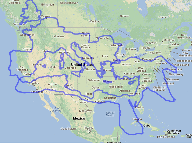
The site “Vox” shared a set of “40 Maps that Explain the Roman Empire.” A number of them are interesting for those who teach Biblical studies. Since I am teaching a class on Paul and the early church this semester, a couple seemed particularly relevant. For instance, this one seems like it might help students in the United States grasp the geographic extent of the Roman Empire:
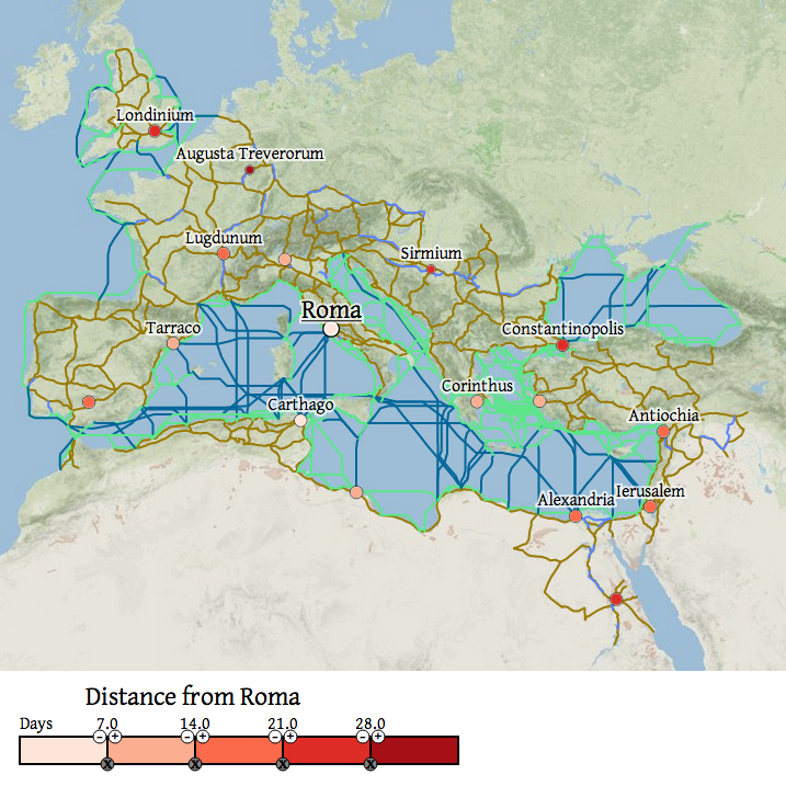
And this one, showing distances in terms of travel time, is likewise of particular relevance in conveying what was involved in Paul’s travels:
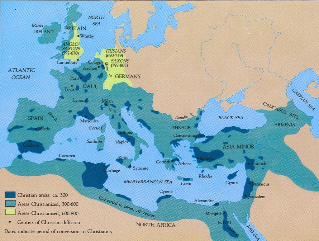
I am less happy with this one, which seems to give an impression of complete Christianization by region, whereas it would be more accurate to say that this depicts regions where Christianity could be found in the periods indicated:
Among the assignments that students can submit in the class this semester, making maps of their own is an option. What maps do we not have readily available online, which would help explain something about Paul’s life and activity? My students might benefit from your suggestions.