Well I’m up and running again, and finally getting into the 10+ mile range, but just barely. The last two weekends I’ve made it out of Helena a few miles to a tiny town called Birdseye, where a plot of BLM land with a little map and a parking area make for perfect trail running. Here’s an overhead, courtesy REI. In doing some online scouting a while back, I found this pdf flyer for a bike race at the site. I figured, if bikes can do it, so can my feet. They say the loop is 6.35 miles, so all I had to do was find the loop. It took a couple tries, at first running in wrong direction, but eventually I found the trail and the spray-painted arrows pointing out turns to make and not to make.
My second time out I decided to take a little Canon PowerShot ELPH to try to document the loop before the handy directions washed or blew away.
Here’s a narrated journey through the run, mostly for my own review, but perhaps of interest to a few of you out there…
Trailhead and map. Don’t go this way, this road is the last bit and the ‘parking lot’ here is the finish point of each loop. Instead, go across the road and head up this hill:
At the bottom looking up. The hill crests once where the road veers left here. Then it veers back right for a second, not-quite-as-steep hill.
Taken about midway up, looking on at the second half.
And over the first hill, looking back. The car would be down below where the road curves off and disappears.
Here we’re at the top of that hill, approximately one KM in and probably 300-500 feet up (perhaps an altimeter should go on my birthday wishlist…). After this there is a nice gentle downhill for a couple hundred meters and then basically flat and then gentle uphill for another KM total.
And again from atop that hill, this time looking due South, I think…
Then we leave the main road to take this hill; it’s quite steep and worth walking the last part of it.
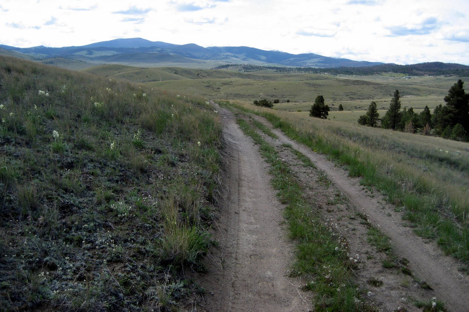
But here’s the view from up there, a random cairn and breathtaking slopes looking SSE toward Helena (far left).
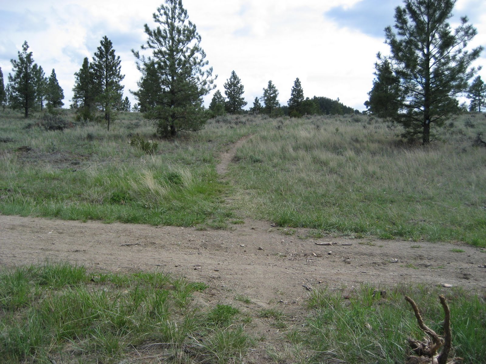
After that hilltop is a rather steep downhill on one-lane trail (going East), crossing the main road (here) within a couple hundred meters. Then, staying on the one-lane trail, we go uphill for a while again until we meet another road.
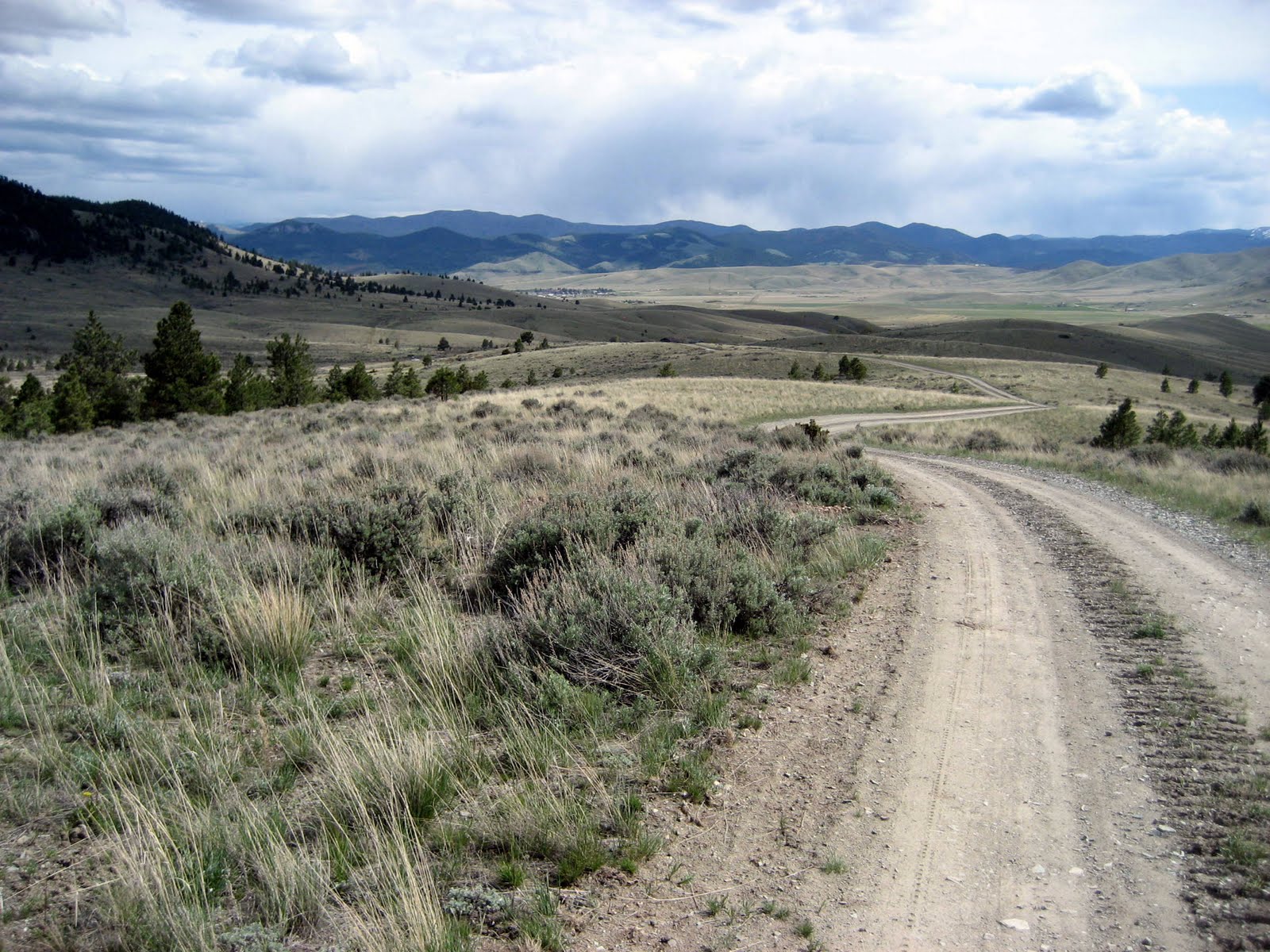
At that second road we turn left (N), and then run just a short bit on flat road until we turn right (East again) on another maintained road. Take this road up over a light hill – getting a nice view of the Helena valley – and down a moderate downhill before turning back (taking a hard right, SW) where it hits another road going up the hill.
No photos for a bit… but take that road up the hill (moderate incline, still headed roughly SSW). As you begin to crest the hill, look for a right onto a one lane trail that will take you due West over/around the hill. This eventually gets to be downhill for a bit and then you hit the main road. Turn left (S).
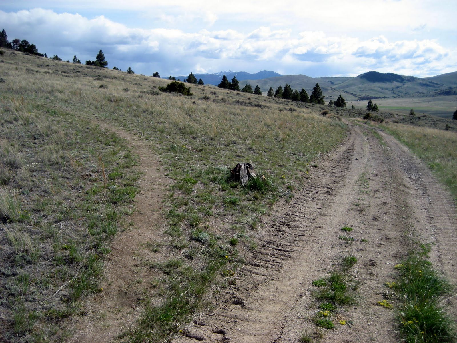
And stay on the main road until this split, where we take the right fork.
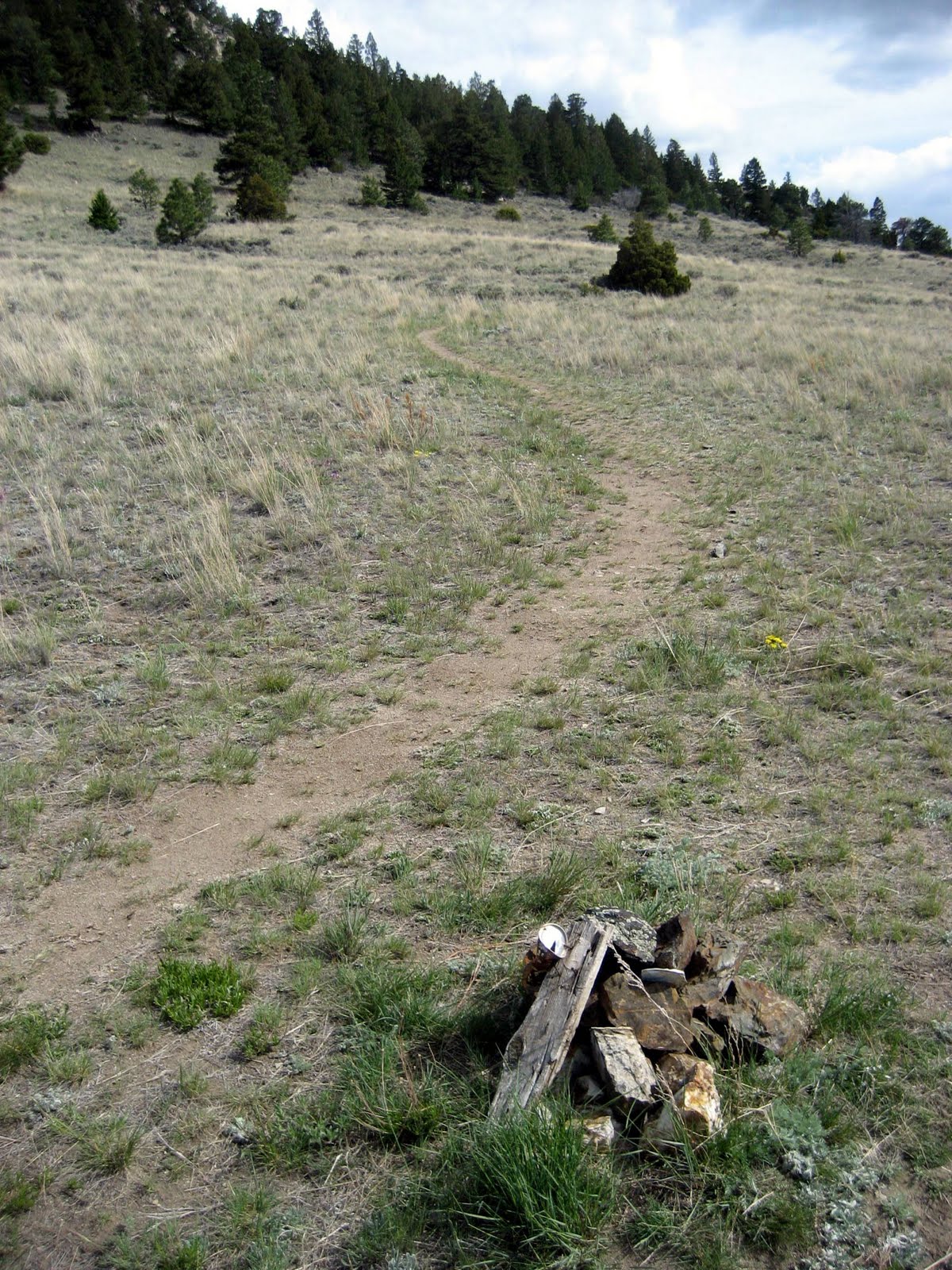
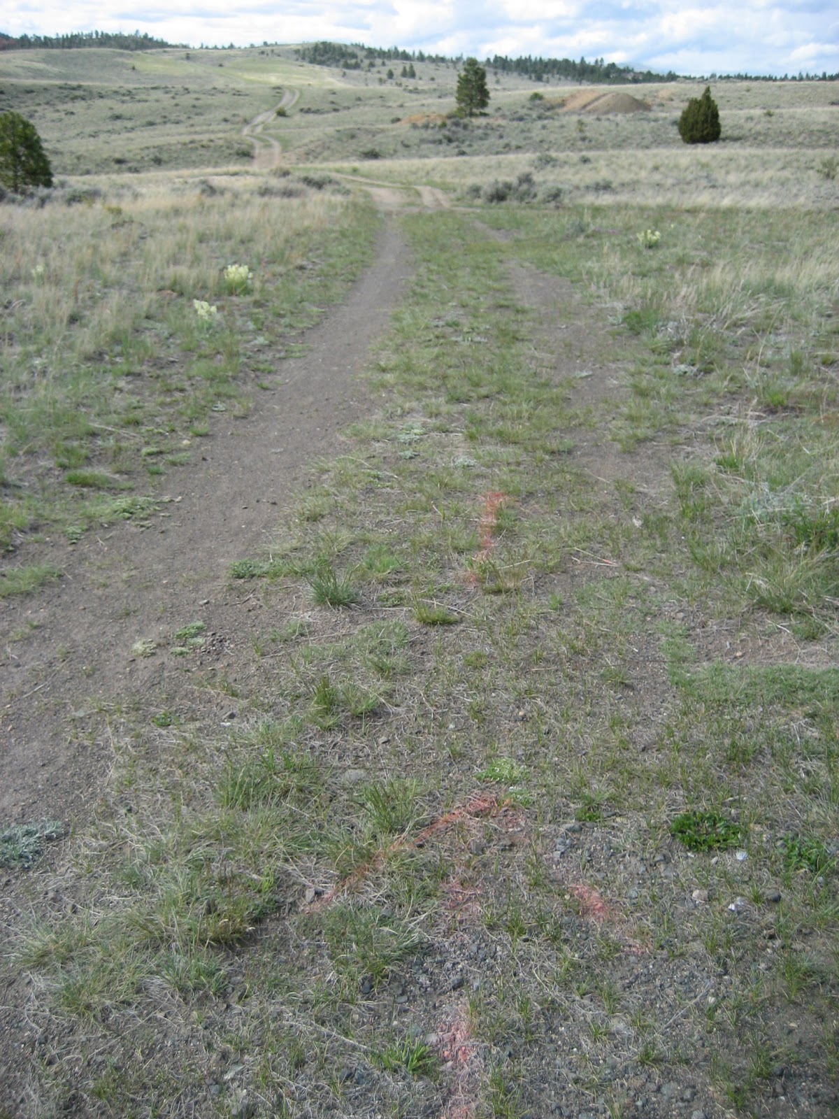
Stay on that for about 1.5 KM. As the parking lot become visible, keep an eye out for this small cairn and one lane trail. Miss this and you’ll be back in the parking lot pretty fast, cutting about 2 KM off the total loop!
Another view of that cairn and the trail, which heads off E/SE. It’ll take you over a long easy hill and then some gentle downhill. After about 1 KM you’ll hit another road. Turn a hard right onto that road, going back W/SW.
The view West from that road. It wraps gently around a hillside, then down, and eventually uphill gently for a bit. At about it’s lowest point, it turns sharply North. Then it goes North for a bit as the hill builds.
The first big split is about 3/4 KM from the point where it turns North. It’s here that you’ll turn left (West) for the final stretch to the parking lot (which should be visible).
Arrows pointing along the last stretch; generally easy ups and downs.
Click for a full size and we’ll see the parking lot (about halfway there from the last turnoff) – two white vehicles.
And a lousy image of the map (I’ll update it at some point).
And transportation back home.
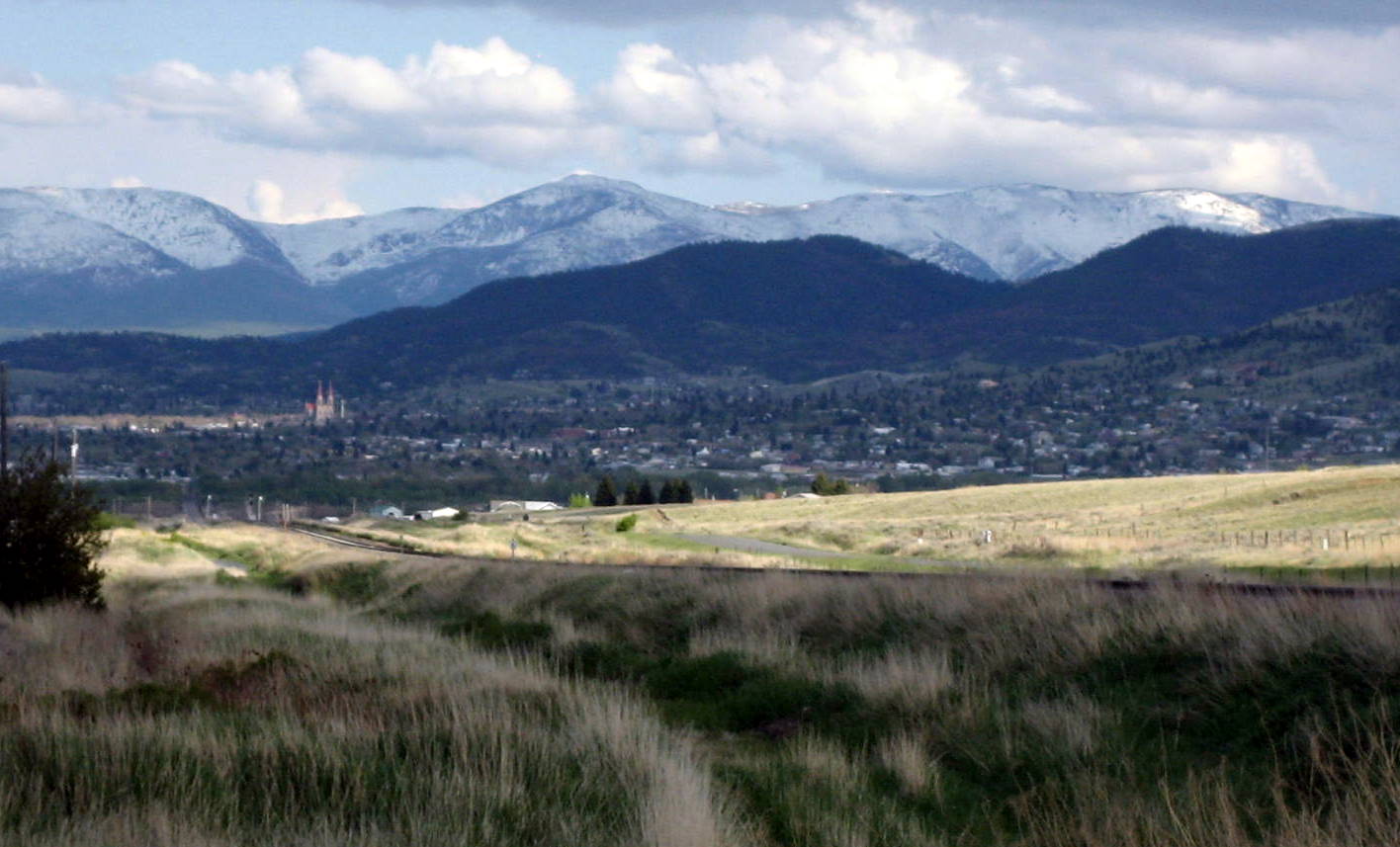
Lastly a beautiful (could-be-spectacular) shot of Helena from along the road. The Helena Cathedral is illuminated in sunshine while most of the city remains behind clouds.
All in all it’s a beautiful run just 5 or 10 minutes from most anywhere in Helena. The trails/roads are mostly sandy, so barefoot/minimal is definitely an option. The views West of town are expansive and open, and the glimpses of town are a welcome reminder of how close you are – yet feeling so very far away from it all. And I have yet to encounter another being, save some bluebirds, anywhere on the trail.