Oh, man. Forget Google Maps. Check out this.
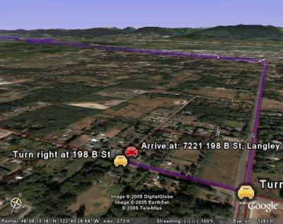
I’ve been playing with this program for the past hour or two, and the picture above is what I got after I took an aerial “tour” following the route I take whenever I drive from my apartment to my church. (In the interests of privacy, I am not going to depict the addresses of any friends or families that I typed into the program.) Once I “arrived” at my church, I “tilted down” to see the mountains in the background, and then I moved around a bit, to see the route I had taken snaking away into the distance.
This is just too cool. And the way the camera sometimes leaps into the air and then comes down again, between certain points on certain “tours”, reminds me of some of those dreams I’ve had where gravity seems to lose its grip on me and then gets it back.
Thanks to Lance for pointing this out to me!