(Wikimedia Commons public domain photograph)
Yup. Here’s another set of notes drawn mostly from Bart J. Kowallis, “In the Thirty and Fourth Year: A Geologist’s View of the Great Destruction in 3 Nephi,” BYU Studies 37/3 (1997-1998):
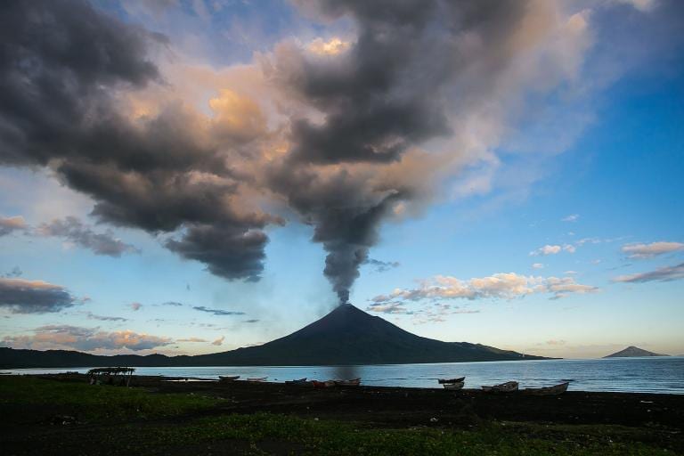
After a violent eruption, the volcano and the area surrounding it often appear completely foreign. The volcano itself may have changed from a towering, symmetrical peak to a blackened stump, stripped of foliage and unrecognizable as the mountain it used to be. Local officials who went to investigate the eruption of Tambora found that the thirteen-thousand-foot mountain was now flattened into a broad plateau and surrounded by a scene of utter devastation. About ninety thousand people died from the eruption and the famine and disease that followed.
Volcanic landslides and mudflows may also significantly alter the terrain, creating hills and ridges where valleys and lowlands had previously existed. . . . After a night of terror during the eruption of Krakatoa and the tsunamis that followed the eruption, one resident described the scene: “At last morning came. In front of us was what was once a town, but there was no destruction. There was simply . . . nothing.” (171)
Maybe the most common and most significant change is simply the blanket of gray ash that commonly covers everything with a ghostly pall and that kills most of the vegetation. It can make a landscape look not only new but quite completely alien.
(Wikimedia Commons public domain photograph)
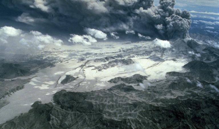
In 1991, when Mount Pinatubo erupted in the Philippines, it ejected roughly the same amount of volcanic ash as did Krakatoa during its great historic explosion.
Clark Airbase, located on Luzon Island, was a facility of the United States Air Force that was located approximately fifteen miles from the volcano. It was buried so deeply by volcanic ash from Mount Pinatubo that the United States military eventually abandoned it.
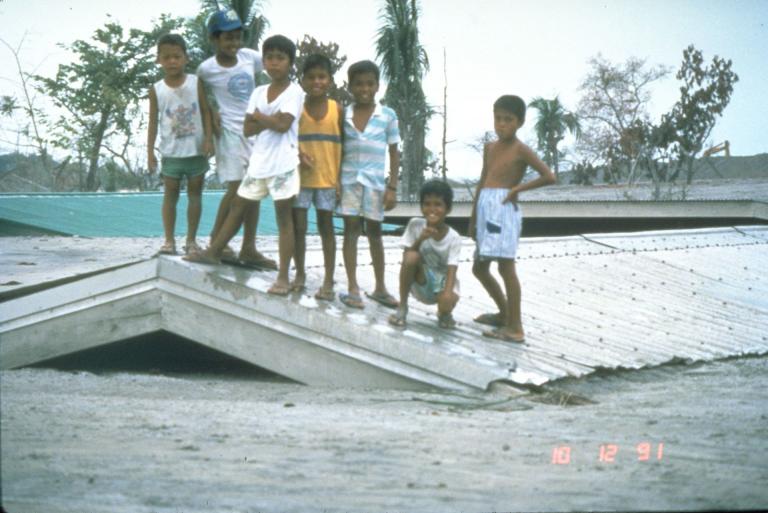
(U.S. Geological Survey Photograph taken on October 12, 1991, by Chris Newhall.)
The eruption of Mount Pinatubo also destroyed, at least for the time being, over two hundred thousand acres of farmland. Two dozen towns were destroyed and 1.2 million Filipinos were displaced from their homes.
“It truly changed the whole face of the land.” (172)